
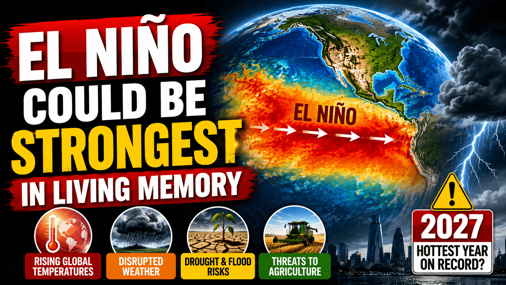
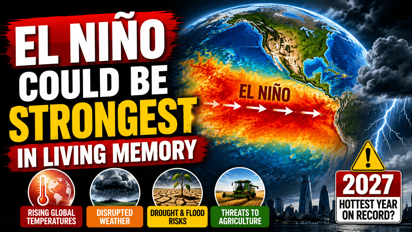
El Niño Could Be Strongest in Living Memory, Met Office Warns
London, August 21, 2026: The developing El Niño weather pattern could become the strongest in living memory, according to the UK Met Office, raising concerns about higher global temperatures, disrupted weather patterns and increased risks for agriculture around the world.
Professor Adam Scaife, head of long-range forecasting at the Met Office, described the developing event as unprecedented in the agency's forecasts, saying he had never seen an El Niño signal of such intensity.
What Is El Niño?
El Niño is a naturally occurring climate phenomenon associated with unusually warm sea-surface temperatures in the eastern and central Pacific Ocean. It is generally linked to weakening trade winds and occurs irregularly, typically every two to seven years.
The phenomenon can last for several months and influence weather patterns far beyond the Pacific, affecting rainfall, temperatures, storms and agricultural conditions across different parts of the world.
2027 Could Become the Hottest Year on Record
The potential strength of the current event has raised particular concern about global temperatures.
The Met Office has warned that the combination of a powerful El Niño and ongoing human-caused climate change makes 2027 very likely to become the hottest year on record globally.
El Niño itself does not cause long-term global warming, but it can temporarily raise global average temperatures by transferring heat from the ocean into the atmosphere. When that natural warming occurs against a background of human-driven climate change, the resulting temperatures can reach exceptionally high levels.
Weather Impacts Could Be Felt Around the World
A strong El Niño can alter established weather patterns across several continents.
Current signs already include below-average monsoon rainfall in India and changes in hurricane activity over the Atlantic. The effects can vary substantially by region, meaning some areas may experience increased rainfall while others face drought or unusually warm conditions.
The developing event is also expected to influence weather across the United Kingdom. The Met Office has warned of increased chances of **wetter and stormier conditions during autumn and early winter in Britain and parts of northwestern Europe.
Agriculture Faces Increased Risks
One of the major concerns surrounding a powerful El Niño is its potential impact on food production.
Changes in rainfall and temperature can affect crops in major agricultural regions. Drought conditions can reduce harvests, while excessive rainfall and flooding can damage farmland and disrupt transportation.
The effects can therefore extend beyond individual countries, potentially influencing global food supplies and prices when major agricultural regions experience simultaneous weather disruptions.
Why This El Niño Is Drawing Attention
The Met Office's warning is particularly significant because scientists are observing an unusually strong signal in their forecasting models.
According to reporting on the forecast, Pacific sea-surface temperatures are already more than **2°C above the long-term average**, while models indicate that the anomaly could exceed 3°C later in 2026. Such conditions would make the developing event exceptionally strong compared with historical observations.
Scientists are nevertheless continuing to monitor how the event develops. Forecasts can change as ocean and atmospheric conditions evolve, meaning the eventual strength and global consequences cannot yet be known with complete certainty.
Climate Change Adds Another Layer
The potential impact of this El Niño is occurring in a world that is already significantly warmer because of human-induced climate change.
That means the effects of natural climate variability are being added to a higher baseline of global temperatures. Even if El Niño itself is temporary, it could push global temperatures to exceptional levels during its peak.
The Met Office's warning therefore highlights the interaction between natural climate patterns and long-term human-driven warming.
What Happens Next?
Scientists and weather agencies will continue monitoring Pacific Ocean temperatures, atmospheric conditions and changes in global weather patterns over the coming months.
The strength of the developing El Niño could influence weather across Asia, Africa, the Americas, Europe and other regions, although the precise effects will differ from place to place.
For now, the Met Office's warning serves as an indication of the potentially extraordinary scale of the event. If current forecasts are correct, the coming months could bring significant challenges for weather forecasting, agriculture and communities vulnerable to extreme weather.
Get More News on Swaggbuzz
Author
About the author
Siddhaanth Raghav
Topics